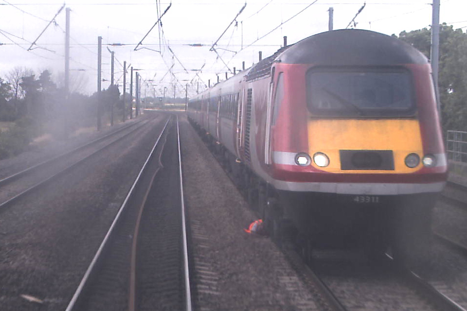
One of the many inconsistencies of the National Rail network is that there is great variance in how lines are laid out. Sometimes they are paired by direction, other times by use. In other words, you can have something like Up Slow - Up Fast - Down Fast - Down Slow, where you have a pair of Up lines and a pair of Down lines. Or you can have Up Slow - Down Slow - Up Fast - Down Fast, where you can have a pair of Slow lines in parallel with Fast lines. Local naming, uses, bidirectional working, and additional tracks (eg. additional relief lines) provide further differences around the network.
Perhaps the easiest way to spot this is on a tour around the Southern network (if such a thing is possible with current reliability...!). From East Croydon, once you head over the tangled web of Windmill Bridge Jn et al, you then have lines paired by use going towards Victoria, and paired by direction towards London Bridge.
Broadly speaking, pairing by direction often results in greater segregation of the Fast lines from passengers, which allows somewhat greater safety, but somewhat worse abilities to stop at intermediate stations during disruption, when the other line of the pair is closed. Pairing lines by use does allow a more separate diversion in the event that one pair is closed for whatever reason. These are just two points among many. Debates do occur around topics such as which allows the better use of junction layouts, which in any case often varies by service pattern and location. You get the picture - it's complicated. This detail is one of the many factors which train crew know specifically for their area as part of their route knowledge, alongside names and positions of major structures which present limited clearances for safe working, junction layouts and so on.