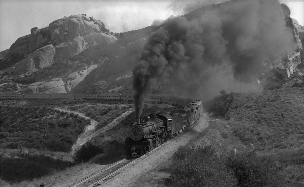
@ac6000cw do you know any railfanning group who would be interested in these?
Not personally, but some possible ones to contact might be:
The Southern Pacific Historical & Technical Society -
https://sphts.org/
The Santa Fe Railway Historical and Modeling Society -
https://sfrhms.org/
Some of the NRHS (National Railway Historical Society) relevant area 'Chapters' (branches) -
https://nrhs.com/chapters/
Re. the location of the photo in the first post (and the 'middle of a mountainous nowhere' description of the locations):
If you look carefully, there are three tracks curving round - left, middle (with the train) and lower right corner. The lower right track looks like it has concrete sleepers, which usually indicates a heavily trafficked mainline. It also has a pale rock face, long brown grass and scrubby vegetation. This makes me wonder if it's somewhere like Cajon Pass (in Southern California) which carried in 1995 the parallel routes of Santa Fe and Southern Pacific (today it's their successors BNSF and UP) and is one of the busiest rail freight corridors in US. Ignoring the rail lines and the very busy Interstate highway that also uses the pass (plus part of old 'Route 66'), it pretty much looks like the mountainous desert area it actually is.
If I'm correct (and this is a major extrapolation from just a single photo), I suspect the left and middle tracks in the photo are Southern Pacific (and the train is descending the pass and has stopped to cross a train in the opposite direction on the single-track SP route), and the right hand track is one of the two Santa Fe tracks over the pass. There are a few places on the pass where the Santa Fe and Southern Pacific tracks are quite close together, with the SP tracks higher than the Santa Fe tracks.
The other 'mountainous desert' area shared back then by Santa Fe and Southern Pacific is of course Tehachapi Pass and the line east of it to Mojave (a desert 'pit stop' town if ever there was one!).
Those two mountain passes are a huge magnet for railfans from all over world (I've visited both four times!), so it wouldn't be at all surprising for your uncle to have visited them.
Julia - if you're willing to share a few more photos we might be able to get/give you a better idea of the areas in the US they were taken?
Superb photo - thanks for sharing. That looks like the Cajon Pass in California - possibly Sullivan's Curve...but I may be completely wrong!
Our posts crossed - I think you may well be correct re. the Sullivans Curve area (I've never visited Sullivans Curve myself, mostly because it's in an 'off-road' area and I've never felt brave enough when in a rental car on my own!).
This is an image from Google maps of the Sullivans Curve area as it is today -
https://maps.app.goo.gl/DtUkESo3UKW67VFw5 - the SP/UP tracks are on the left and the Santa Fe/BNSF tracks are on the right (note in 1995 there was only one Santa Fe track at this location, the other one was added more recently as part of a major BNSF triple-tracking project).
As an aside, the loco in the photo (a GE AC4400CW, according to
an SP diesel roster of the time) was only delivered to SP in 1995 which explains its good condition as it's almost brand new! It looks like a loaded coal train behind it, formed of steel-bodied hopper cars, the coal may be heading for export from Los Angeles/Long Beach ports?