I'd suggest by mileage the majority of disused lines are just there in the landscape, slowly going / gone back to nature - probably sold back to adjacent landowners in many cases but still a feature if you know what to look for - depending on the nature of the farmland and how easy it is to do they can end up cleared and ploughed back (common in flat landscapes) but often embankments and cuttings are just there to see.
Something I find interesting is to look at old Ordnance Survey (OS) maps where disused lines, where they are a distinguishable landscape feature, are marked on the maps. Streetmap.co.uk gives free access to small sections of maps - but the easiest thing is to go to a charity shop and buy a few old OS maps which are usually dirt cheap (c£1 or less in my experience) and find the lines - the older the map edition the better - post beaching era - as the lines were more likely to be clear on the land and thus justify being mapped - so OS maps from the late 1960s / 1970s and 1980s usually have plenty of old lines you can clearly follow - as we get closer to today the lines are less distinct so you can see parts of their routes them get gradually removed from the maps - or get OS maps of different editions from an area where you live from different time periods and compare - again pretty cheap from charity shops or on e-bay
as an example - here's a bundle of various 1960s OS maps from Oxfam on line - 12 for £15 +p&p - but better to go to a local charity shop and then you can look to see ones that show what you are looking for before splashing out with your loose change

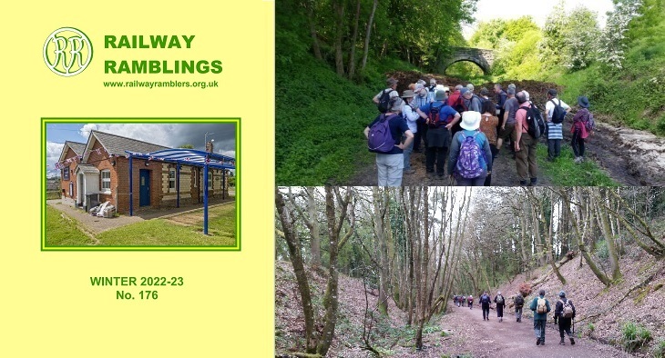
OP could also look at the Railway Ramblers website too
Railway Ramblers is a national club that organises walks and encourages interest in disused railway lines throughout the UK.

www.railwayramblers.org.uk
Disused Stations website shows old maps around closed stations on closed lines which of course gives a clear indication of where lines one were - and they always include an OS map snippet too