
Hi, am searching for nice-looking railway maps from round the world for a project I'm working on so thought it would be a good idea to ask you forummers and also a good excuse to post some pretty piccies of rail maps from the world. I'll get the ball rolling but please add your own !
* Beautiful 3D-esque relief map of Scotland produced byb the LNER/LMS around 1934

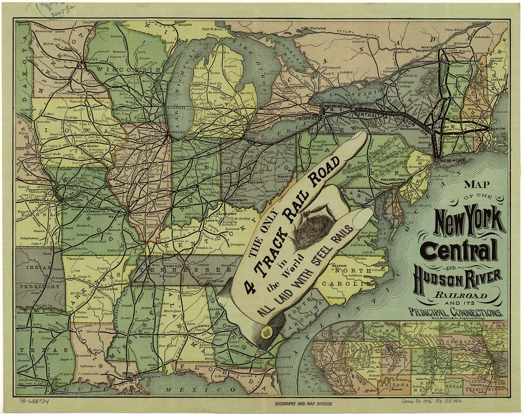
* Detailed map of the NYCRR from around 1876 proudly announcing its 4 track route
* Uganda Railways poster of early 1920s

* The Australian system in 1907 before the sides of the country were connected

* How the Canadian west was opened up by the railroad

* Beautiful 3D-esque relief map of Scotland produced byb the LNER/LMS around 1934
* Detailed map of the NYCRR from around 1876 proudly announcing its 4 track route
* Uganda Railways poster of early 1920s
* The Australian system in 1907 before the sides of the country were connected
* How the Canadian west was opened up by the railroad
 It looks west, so the ocean in the foreground & mountains & hills which surround Sydney in the distance.


 (did you by any chance also post that on SSC too??)