On the HS2 website there's a zoomable map of the route. Some time since I last looked a few months ago, the maximum resolution seems to have been increased.
Specifically, at Curdworth (east of Birmingham, near Water Orton, Hams Hall and Coleshill) there are numerous tracks between the north corner of the triangular junction with the Birmingham spur, and the turnoff of the north-east arm, now to be the East Midlands arm. If you zoom in enough, you can now see every individual track.
The new version confirms my previous statements that there is full provision for parallel movements, such as
London to the NW in parallel with Brum to the NE
London to the NE in parallel with Brum to the NW
The NW to London in parallel with the NE to Brum
The NE to London in parallel with the NW to Brum
plus some further incomplete parallelism involving the fast and slow lines between here and Birmingham Interchange.
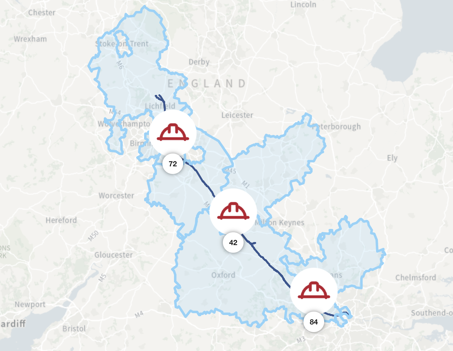
Explore the interactive HS2 route map to see the railway, stations and construction works and find information about HS2 activity in your local area.

www.hs2.org.uk